Photogrammetric surveys
Photogrammetric surveys
Photogrammetric surveys are performed using modern technology based on drone flights. The technology allows for precise visualization of the current land development. Photogrammetric surveys make it much easier to perform calculations to model building information (BIM) in a manner that is accessible to Clients.
Pioneering technology
We were one of the first to introduce photogrammetric surveys for the needs of geological and geotechnical studies. A trained team with licenses to operate drones and extensive experience mean that customers are increasingly using the services we offer for this type of studies. We have carried out photogrammetric surveys of many important investments in Poland.
Cloud of points
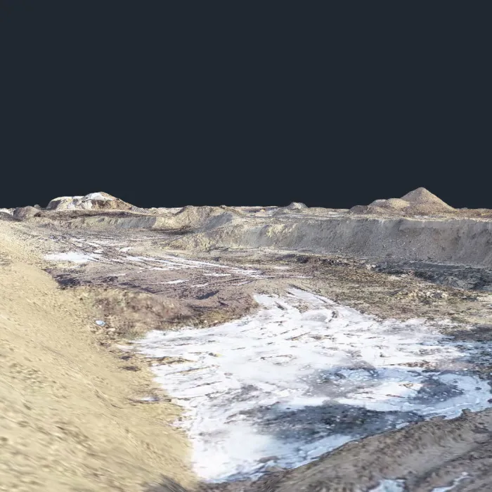
After a drone flight, the data collected by the camera is processed by a computer. Complicated, multi-hour calculations allow creation of a cloud of points.
The cloud of points is created in the 2000 system.
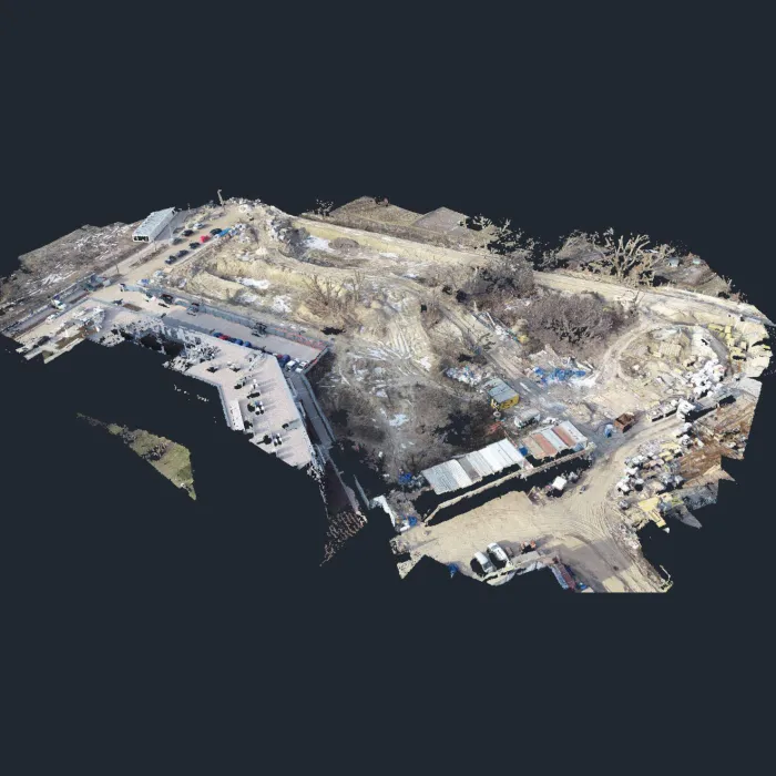
The photo shows a cloud of points from the entire surveyed area.
Classification and cleanup
Classification allows removal of all unnecessary image elements (e.g. trees), leaving only the terrain surface.
The cloud of points both before and after classification can be saved in the following file formats: *.ply, *.las, *.laz, *.zlas, *.koo, *.txt, *.xyz, *.dsv, *.csv, *.pts, *.cl3 and *.e57.
The classified land surface can be further cleaned, e.g. by cutting to the plot area. Cleaning up the cloud of points speeds up subsequent calculations.
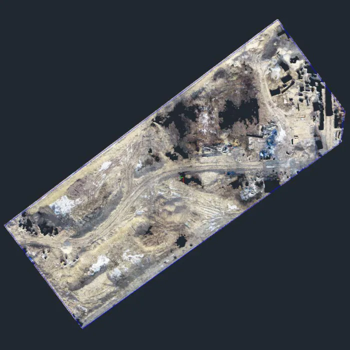
The photo shows a view of the cloud of points after classification and cropping.
Creating a terrain model
The terrain model is created on the basis of triangles with of a given size. The ability to set the size of a triangle allows controlling the accuracy and size of the model depending on current needs or hardware capabilities.
The model can be saved in the following formats: *.ply, *.dxf (AutoCAD), *.txt, *.koo, *.xyz, *.stl, *.obj, *.dae, *.tiff and *.xml.
To reload a previously saved model, having it in a *.tiff format is required.
Orthophotomap
Various types of maps can be generated from the collected data.
Based on the model and photos, an orthophotomap is created, which can be saved in one of the following formats: *.jpg, *.tiff, *.pdf, *.jpe, *.png and *.kmz.
The orthophotomap can display CAD drawings used in the project, cross-section lines, earth mass calculation areas, etc.
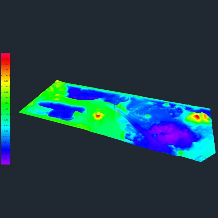
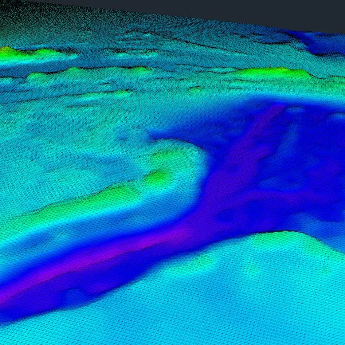
Elevation map
The terrain model (or cloud of points) can be presented as a colored elevation map.
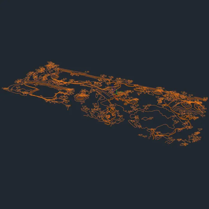
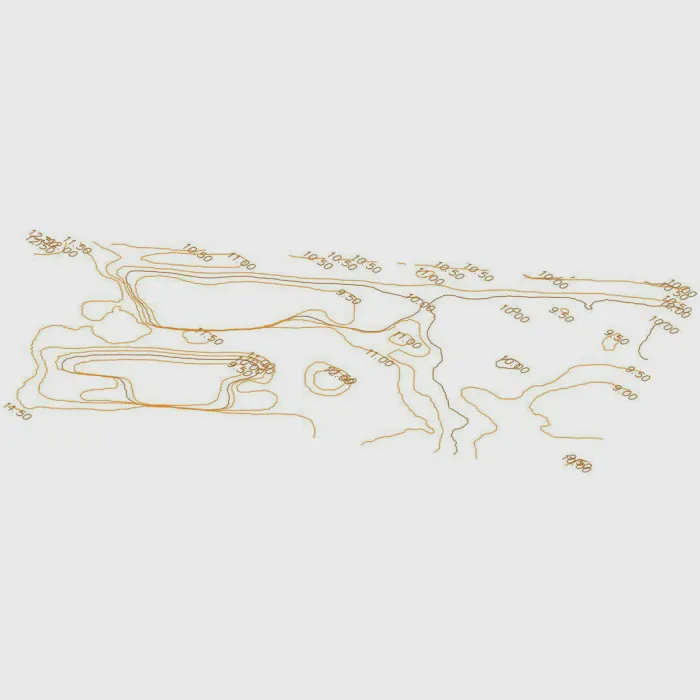
Contour map
A contour map is created based on a terrain model with any accuracy. It can be displayed on the model with or without captions.
The contour map can be saved in the following formats: *.dxf (2D or 3D) and *.pdf.
Each line and caption can be easily edited in the exported map. In the 3D format, each line is assigned appropriate height coordinates.
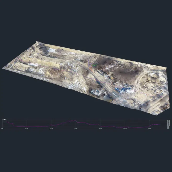
Creating cross-sections
It is possible to read cross-section lines from the model in the place designated in the program or according to the established line from *.dxf. The line may be broken. The cross-section accuracy can be freely adjusted. In addition to the basic cross-section, it is possible to generate perpendicular cross-sections with a fixed length and distance from each other.
Profiles can be saved in the following formats: *.dxf, *.pdf, *.lng and *.que.
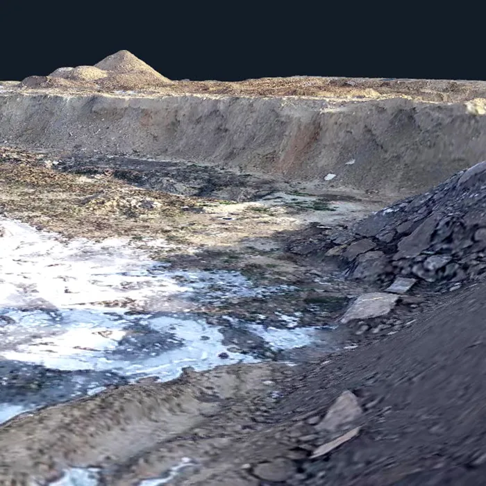
The photo shows a view of the area with a cross-section shown underneath.
Creating videos
Based on the collected data, videos can be created, e.g. a video of a "fly over the plot" according to any route marked in the computer. For this purpose, the following are indicated, among others: subsequent points between which the virtual camera is moving, the speed of its movement, the direction in which the virtual objective is being turned to.
A sample video created for demonstration purposes is shown below.
Expertise
nearly 10000 completed projects
Experience
30+ years in the industry
Team
30+ consultants
Quality
4000+ environmental samples tested per year
Requirements for flight execution
Photogrammetric flights can be completed within a few hours under favorable weather conditions. Rain and strong wind make flights impossible.
In designated airspace zones (can be checked at https://droneradar.eu/), flights require consent from PANSA (Polish Air Navigation Services Agency). In the case of special zones (national parks, power plants, military facilities, etc.), additional consent from the zone manager is required.
Order a photogrammetric survey
To order a photogrammetric survey, contact us by phone or e-mail.
Order a survey